Lezzeno on Lake Como: how do you plan without assuming a continuous waterfront path?

Lezzeno is a good place to retire the idea that every Lake Como village comes with one neat, level promenade. The municipality stretches along the eastern side of the Como branch, with settlements at different heights above the water. Planning a visit means choosing a particular part of that landscape. It becomes much more satisfying when “a walk in Lezzeno” turns into a defined route, a realistic arrival point and enough time to enjoy what lies between them.
Why does one village name cover so much ground?
The municipality’s territorial account describes seventeen hamlets spread over more than seven kilometres, from Punta della Cavagnola towards Valle Maggiore. The steep slopes are part of the place’s character, not an inconvenience added to an otherwise flat resort. An accommodation address, a church and a boat departure can all be in Lezzeno while still requiring a meaningful journey between them.
Use the specific locality alongside the municipal name when making arrangements. Ask a host or organizer to identify the meeting point on a current map and explain the approach from your transport stop. “Near the lake” describes a relationship with the water; it does not establish a level pavement, a short walk or step-free access. That small distinction can prevent a surprisingly large misunderstanding.
What does the published walking circuit actually involve?
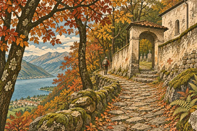
The regional tourism portal carries a Lezzeno circuit supplied by Lago di Como GAL. It starts and finishes at the church of Santi Quirico e Giulitta and is described as five kilometres, approximately two hours, with 125 metres of ascent and descent. The published route combines the Strada Regia, hamlets, church stops, woodland and a stretch beside the water. It is not presented as five uninterrupted kilometres of shoreline promenade.
The detailed instructions include a section along the provincial road, a road crossing, mule-track walking and stairways. Although the portal labels the circuit easy, those features still matter to anyone managing balance, stamina, a pushchair or a wheelchair. Treat the rating as an overview of that itinerary, not an individual guarantee. Check the current path conditions and the whole route before deciding that its distance alone makes it suitable.
Choose between a circuit and a compact visit
If the full circuit suits your party, keep the current official directions available and allow extra time for looking, pauses and route-finding. A quoted two-hour duration need not become a stopwatch challenge. Recent rain can change the feel of stone steps and unpaved ground, while November daylight makes an unplanned extension less attractive. Set a departure time that leaves a comfortable margin for the return journey.
A shorter visit is a valid choice. Make the area around the parish church your focus, then ask locally about an appropriate nearby public walk. Do not improvise a shortcut between two map points simply because the water appears close. The proper alternative to an unsuitable circuit is a smaller confirmed route, not a hopeful scramble down a lane that turns out to serve a private property.
Give the churches different roles in your walk
The regional itinerary connects Santi Quirico e Giulitta with smaller churches, including San Giuseppe, Santissima Trinità and Santa Maria delle Grazie. Their changing settings are a useful subject in themselves. Notice whether a building gathers houses around it, stands beside a route or offers a wider view. You can compare those relationships without assuming that every door will be open or that every church has the same history.
If an interior is available, observe the visitor instructions and give worship priority. Otherwise, look from permitted public space and continue with the route you planned. Avoid turning a listed church into an essential admission unless its current access has been confirmed. A walking itinerary identifies places along a journey; it is not a package of guaranteed interior visits.
Water views are not water transport
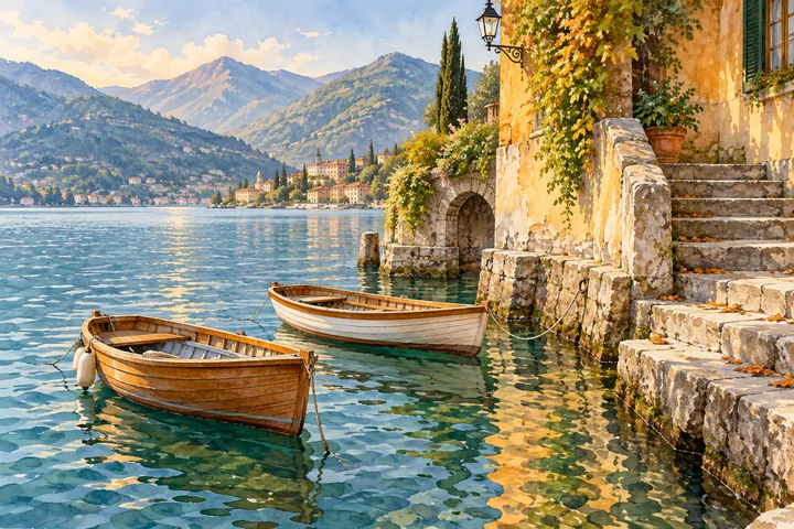
The municipal account describes the dramatic rocky shore towards Bellagio, including the Grosgalli formations. Their presence helps explain why the shoreline cannot simply be treated as one continuous pedestrian edge. A view from the lake and a walk on land reveal different aspects of the same terrain. Neither one establishes permission or safe conditions for approaching a cave, landing on a shore or leaving an authorized path.
For a boat journey, use Navigazione Laghi’s current service information for the actual date and stops. At this check, its Lake Como timetable runs from 2 November 2026 to 14 March 2027; an October schedule has already expired. Our autumn ferry guide explains the planning questions. A public ferry, a private cruise and a transfer from Milan have different starting points and inclusions. Confirm your return before letting an appealing distant view reorganize the day.
Keep the wider itinerary honest about geography
Our Nesso guide offers a separate steep-shore visit, while Bellagio’s village walk belongs to another place with its own arrival and walking demands. These are alternatives or deliberate additions, not interchangeable neighbourhoods. Choose the combination that works with your transport and energy.
Browse Lake Como walking experiences by the real meeting point and route. If beginning in Milan, use Milan Tour Hub’s Lake Como day-trip guide to plan that separate departure. Lezzeno rewards the visitor who chooses one manageable piece of its long, varied shore. You do not need to walk the entire municipality to understand why a single name can contain so many different encounters with the lake.
Sources & further reading
Turn a good read into a great day.
Find a highly rated Lake Como experience that brings these stories to life.
Explore related experiences →